

(STEUBEN COUNTY) - A winter weather system is bringing accumulating snow, gusty winds and a sharp drop in temperatures to Steuben County, with hazardous conditions expected through Friday night.
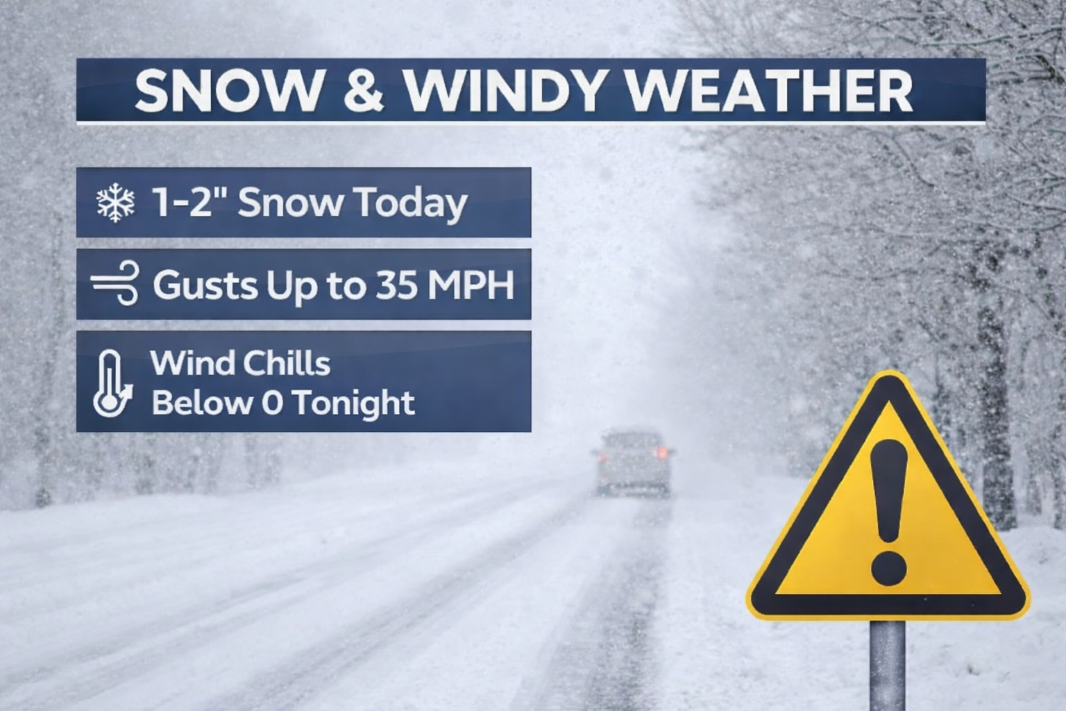
Snow is likely through the day Friday, with additional accumulation of 1 to 2 inches. Total snowfall is expected to reach around 2 inches, possibly more. High temperatures will climb into the mid-30s, but conditions will worsen as winds strengthen through the afternoon.
West winds of 5 to 10 miles per hour will increase to the northwest at 15 to 20 miles per hour, with gusts reaching up to 35 miles per hour.
Blowing snow may reduce visibility at times. The chance of snow is near 100 percent.
Snow will taper off Friday evening, with skies turning partly cloudy and then mostly clear overnight.
Much colder air will move in, with lows dropping to around 4 degrees above zero. Wind chills could fall as low as 9 degrees below zero after midnight.
Saturday will be mostly sunny but sharply colder. Highs will struggle to reach 18 degrees.
Northwest winds of 5 to 10 miles per hour will continue, with morning gusts up to 20 miles per hour. Wind chill values could again dip near 9 degrees below zero early in the day.
Drivers are urged to use caution during Friday's snow and wind, and residents should prepare for dangerous cold heading into the weekend.